• Reserve Size

    Significant duration of resource availability

    Section image

    23,296,000 Tonnes

    The operable apparent reserves total 23,296,000 tonnes,providing a robust foundation for long-term production.

    With an average annual output projected at 70,000 tonnes,the mine is estimated to have a useful life of around 332 years.

    Section image

    Probable Reserves

    Two probable reserve polygons are identified both with a mineral percentage of 70%.

    Pol 1:1000 m x 500 m x 40 m = 52.000.000 t

    Pol 2:2000 m x 300 m x 40 m = 62.400.000 t

    Section image

    800 meters in Lenght

    The visible reserve dimensions are 800 meters in length,400 meters in width and 40 meters in depth with a density of 2.6 tonnes per cubic meter.

  • Mineral Deposit Properties

    Plant Capacity

    Plant Capacity: 100 tons/hour

    Daily Working Hours: 8 hours

    Monthly Working Days: 20 days

    Total Monthly Capacity: 16,000 tons

    Product Output Fractions: 0-1 mm, 1-10 mm, 10-25 mm

    Final Product: Micronized silicate (for semiconductor wafers,solar polysilicon,fused quartz products etc.)

    Water Source: High-flow,industrial water line

    Energy: Mains electricity (medium/high voltage)

    Textured Quartzite Features

    The ore primarily comprises quartzite charectirized by its fracturated texture and varying color shades such as beige,cream or dirty yellow making it visually distinctive and valuable in diffrent applications.

    Formation Process

    This mineral deposit is categorized as a vein ore, which is formed through hydrothermal processes in sedimentary limestone, enhancing its economic viability and extraction potential.

    Open Pit Mining Method

    The proposed mining method is open pit, which allows for efficient extraction of quartz while progressively advancing the quarry through step formations.This method is ideal for the geological characteristics of the site facilitating safe and effective mining operations.

  • QUARTZ SCHIST CONTAINING LITTLE MICA

    The sample is a metamorphic rock formed by regional metamorphism of fine-grained sandstone very rich in quartz. Regional metamorphism has resulted in slight elongation of the minerals, resulting in a directional texture. Quartz crystals, which constitute the main component and have short-axis grain sizes ranging from 0.02 to 0.1 mm, are generally interlocked in contact formations. Small amounts of thin,platy mica minerals,possibly composed of sericite and biotite,are observed among the quartz crystals (Photo).Iron oxide staining,appearing as brown spots on some mica minerals has also been observed.

    General view of the sample thin section under polarizing microscope double-lens. Among the quartz (Q) crystals that constitute the main component and show different extinction positions, small amounts of thin sheet-like mica (Mi) minerals, which may be of sericite ± biotite composition are observed.

  • Climate and Geography

    Mediterranean Climate

    Section image

    Significant Geographic Position

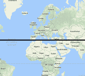
    The area lies between the 37-38 north parallels and 36-37 east meridians,marking it as a significant geographic position for mining activities. Only 225 km from port,the site offers efficient transportation routes for export and logistics.

    Section image

    Climate and Operational Schedule

    The region is characterized by a Mediterranean climate,featuring mild,wet winters and hot,dry summers.

    This climate significantly influences mining operations which are scheduled to run for 9 months each year with operations occurring 26 days a month for 8 hours daily.

    Temperatures remain below 0°C for 40 days a year and above 30°C for 120 days.

    Snow cover generally lasts no longer than a week.

    Section image

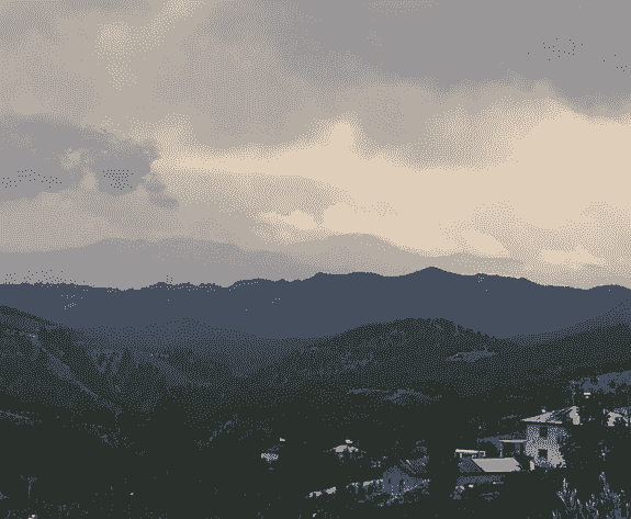
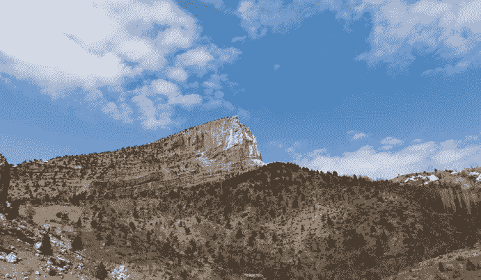
    Mountainous Terrain: Opportunities for Mining

    The northern region of the province is characterized by a predominantly mountainous landscape, comprising 59.7% mountains, 24% plateaus, and 16.3% plains.

    This topography provides various opportunities for mining and exploration activities due to its natural formations and mineral richness.

    Section image

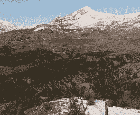
    Highest Elevation 1690 m

    Although the licence area has a hilly structure, there are connection roads.

    The highest elevation within the site is 1690 m and the lowest elevation is around 1200 m.

    It is generally covered with forested area.

    A very large part of it consists of forest lands and the remaining part consists of private lands.